
Uncovering Historic Lock One of the Erie Canal
The re-excavation of the double lock and restoration of the Little Basin is the first part of the Albany Waterfront Canal Project’s two-stage plan to revive Albany as a canal city.
-
![]()
Erie Canal's old Lock One excavated for potential development project
-
![]()
Erie Canal Lock One Rediscovered in Albany
-
![]()
Grondahl: Saga as long as the Erie Canal strikes pay dirt
-
![]()
Erie Canal Lock One Could Anchor Albany Waterfront Redevelopment
-
![]()
Unearthing a piece of Erie Canal history
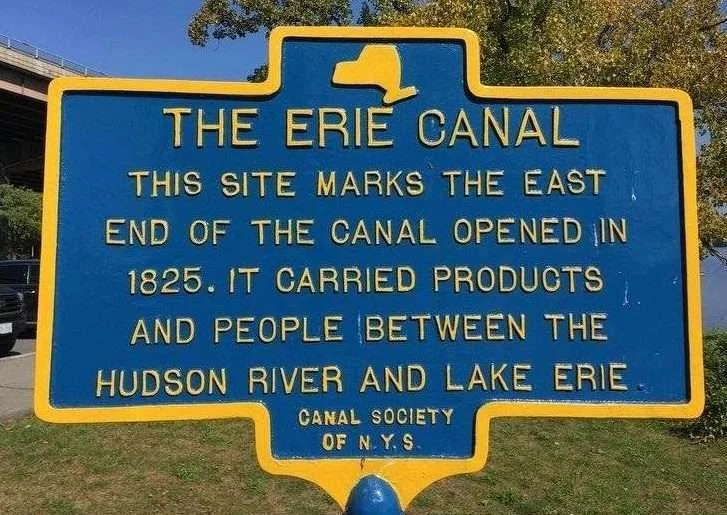
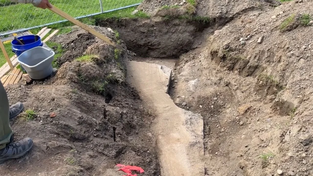
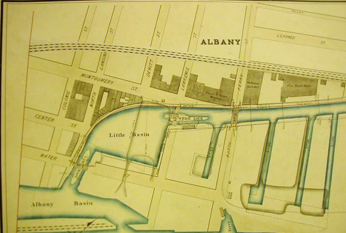
Lock One History
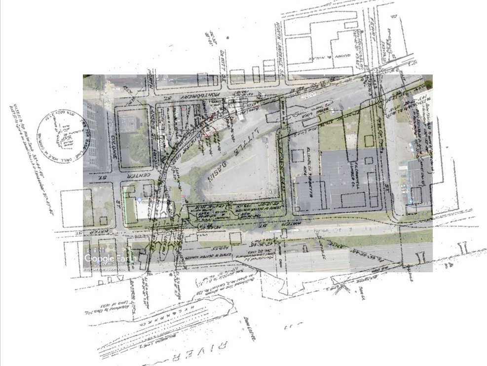
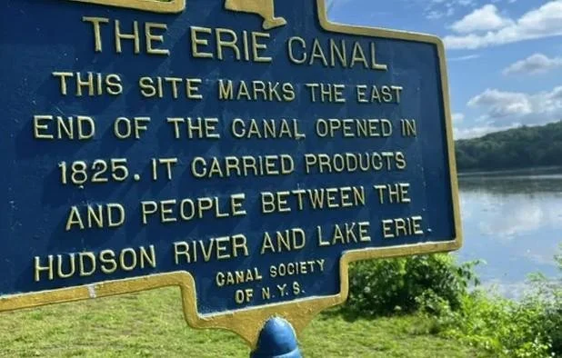
The Eastern Terminus of the Erie Canal, both the original 1825 canal and the Enlarged 1842 canal, were located in the area of Albany bounded by Colonie St, Montgomery Street, Lawrence St and Water St.
This part of the canal was abandoned in 1921, and the D&H railroad filled the area around Lock One, while the lock itself was ultimately used as a dump.
At the same time, the area that was the Erie Canal’s Great Basin was filled in, and in the 1970’s, I-787 was constructed, which officially cut Albany off from the Hudson river.
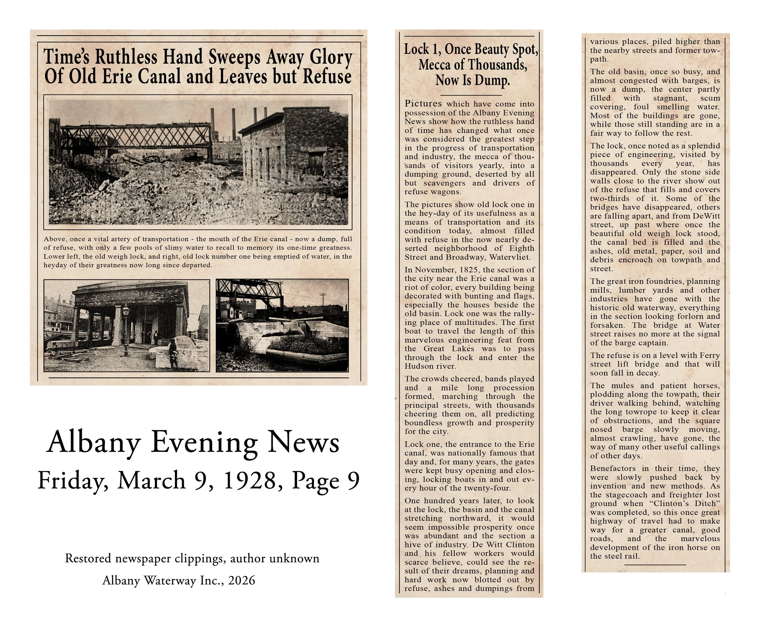
Previous Archaeological Investigations
In November of 2002, an archeological team from Union College’s Lewis Henry Morgan Institute located the Enlarged Erie Canal Collector’s House and Weighlock in Albany. In 2003, the same team located the Enlarged Erie Canal Lock 1 and the edge of the Little Basin.
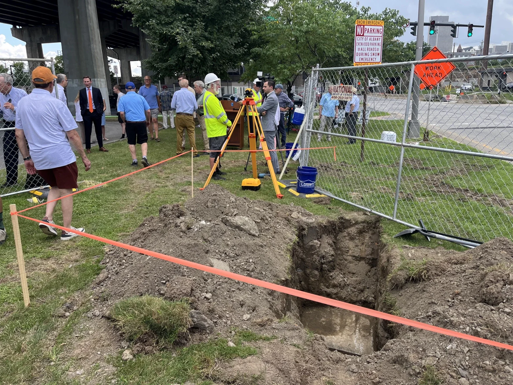
Our current proposal intends to unearth the Eastern Section of Lock One.
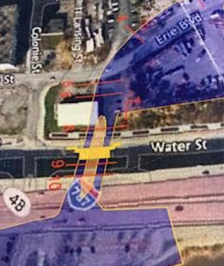
On July 13, 2023, GPR (Ground Penetrating Radar) conducted by JMT Engineering on outlined the eastern section of Lock One (1842-1918) on the east side of Water St., north of the intersection of Water and Colonie Streets and on the edge of the parking lot below Route 787.
Archaeology Field School
SUNY Polytechnic Institute
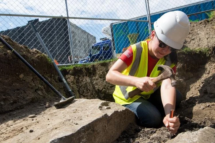
During the August 2026 excavation, the Field School will look for the structure of Lock 1 of the Enlarged Erie Canal in Albany, NY. Students will learn proper technique for cataloging and removal of artifacts, archeology surveying, proper soil removal, and how to use mapping to locate buried structures.
For more information, including how to apply for a scholarship, please contact Andrew Wolfe at wolfea@sunypoly.edu
Apply for the course through SUNY Poly.
ANT 490 Special Topics: Archaeology Field School
START: August 3, 2026
HOURS: 1:00-4:00pm
INSTRUCTORS: Andrew Wolfe and Denis Foley
CREDITS: 3 (1 lecture, 2 lab)
SCHOLARSHIPS: Available!